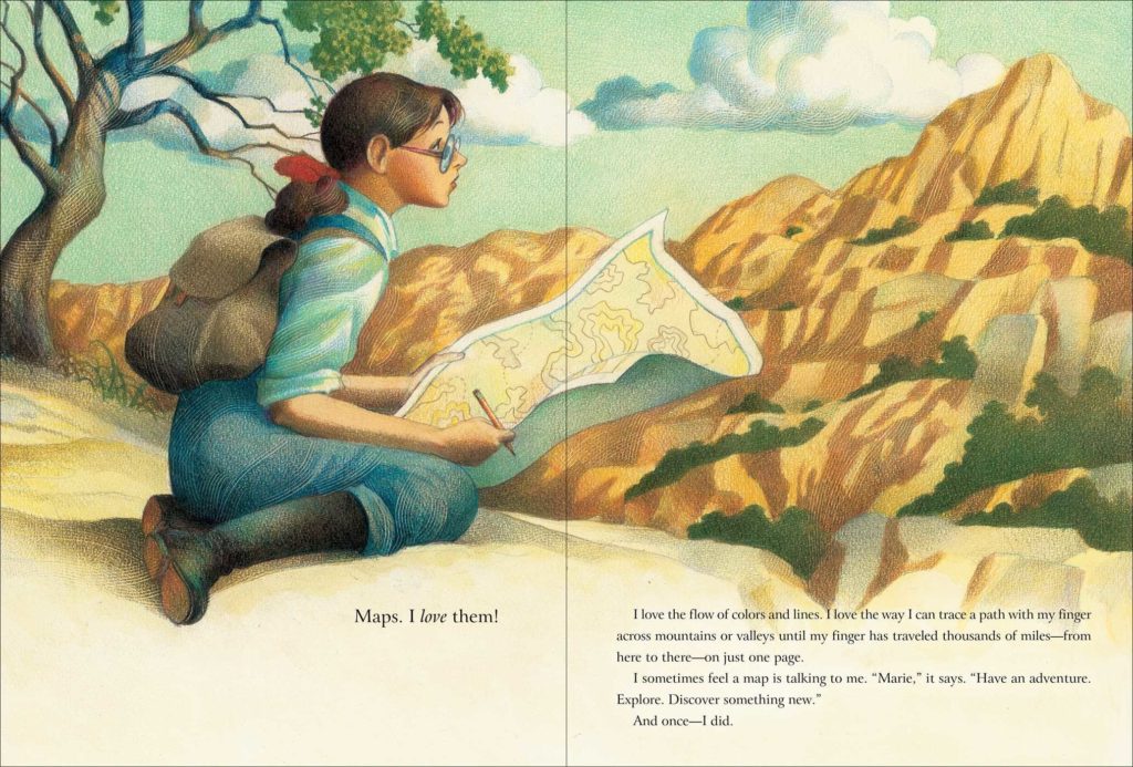
Solving the Puzzle Under the Sea; Marie Tharp Maps the Ocean Floor by Robert Burleigh (author) Raúl Colón (illustrator) Simon & Schuster (2016) picture book biography grades Solving the Puzzle Under the Sea is a book for anyone interested in maps and map-making. It tells the story of Marie Tharp who,as a girl, loved maps. She […]
Maps in Children's Books
Treasure Island – the story of the map that inspired a book
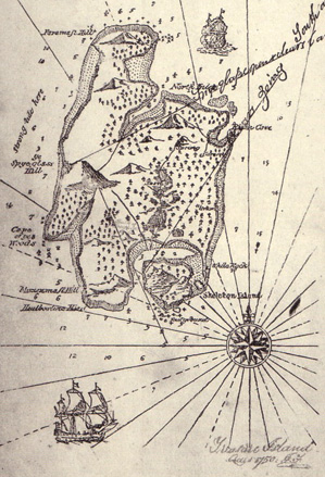
I still remember the day that I opened an old copy of Treasure Island and read these words: And so begins one of the world’s greatest pirate novels with arguably the most well-known map included in a book. This is the classic adventure written by Robert Louis Stevenson, which tells the tale of the […]
R is for Redwall – a world with maps
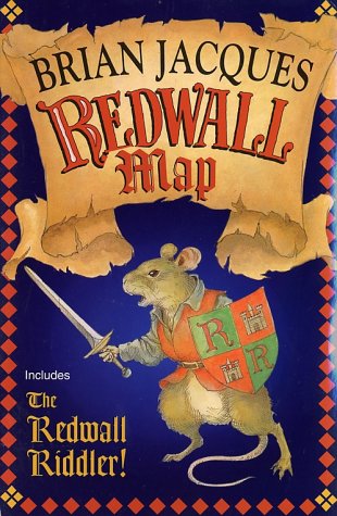
Fantasy series are the ones that most generously include maps which enable readers immediately enter and gain an understanding of the world the characters inhabit. The Redwall series is not exception. REDWALL by Brian Jacques (author) Troy Howell (cover artist) maps drawn by different artists series began in 1986 and ended in 2011 Redwall is […]
Q is for Quilts – Leading the way to freedom
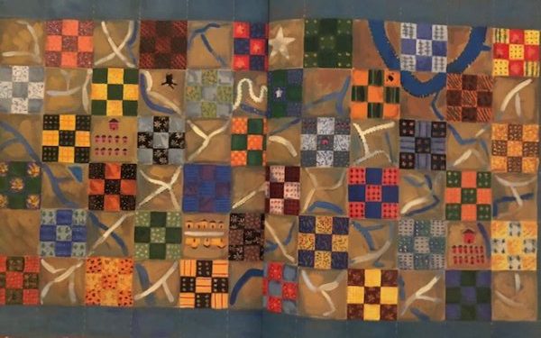
Slavery is a difficult but important topic to teach to young children. One of the best ways is to share stories featuring the amazing Freedom Quilt Maps. These quilts sewn with block patterns were displayed as signals to slaves as they set out to the north during on the Underground Railroad. Because quilts were so […]
P is for Passport, Paper Towns, and a Parade
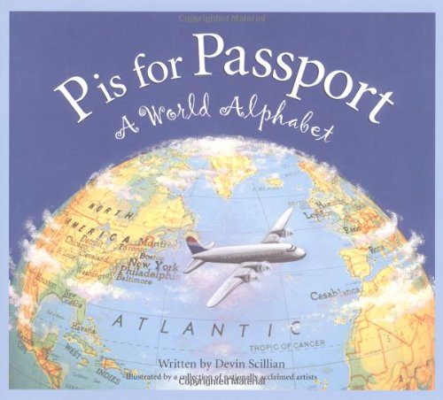
I am always up for a trip somewhere out of the country where I can use my passport. I’ve had many passports over the years and it’s fun to look through them and see the stamps from the many places I’ve been. But, am I the only one who never likes their passport photo? In […]