A is for April which means that the 2018 A to Z Blog challenge has officially begun. This year I am on the lookout for Literary Maps. I am defining literary quite loosely as I am focusing on maps in children’s books. Unfortunately, people don’t seem to be that interested in maps these days. I love maps because they are the starting point for journeys. I hope you’ll join me on this geographical/alphabetical adventure.
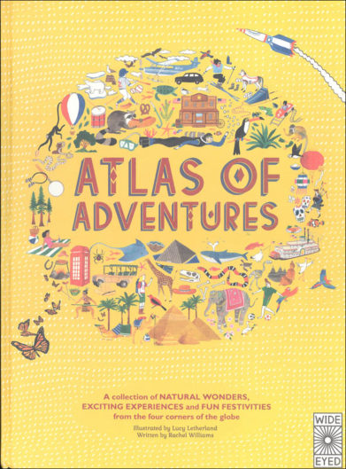
Atlas of Adventures A collection of Natural Wonders, Exciting Experiences and Fun Festivities from the Four Corners of the Globe
by Rachel Williams (author) and Lucy Letherland (illustrator) Aurum Press 2014
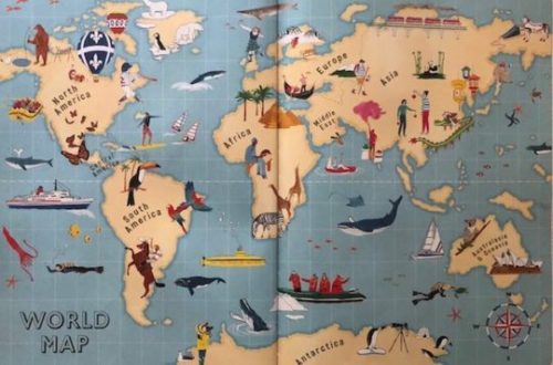
When is the last time you looked at an atlas? If it’s been awhile, I suggest you take a look at the Atlas of Adventures. It is one of the most readable atlases available and definitely lives up to its subtitle. This over-sized book is divided into continents and each section shows activities and challenges in destinations around the world. Time spent reading each double page spread will get you dreaming and planning your next trip. Now, should I ride with cowboys in Northern Patagonia or go snorkeling in the Great Barrier Reef?
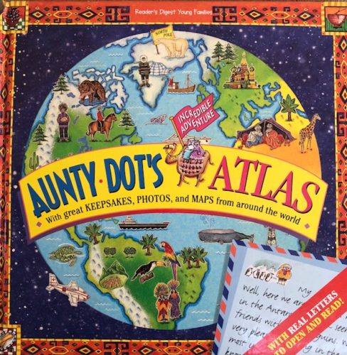
Aunty Dot’s Incredible Adventure Atlas
by Eljay Yildirim (author) and Brigitte McDonald (illustrator) Reader’s Digest 1997
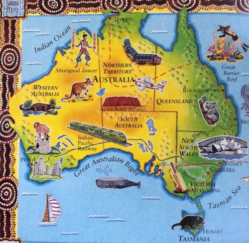
Lucky Aunty Dot and Uncle Frank have won a trip around the world. They send back photos, maps, and souvenirs home with letters describing their adventures. Rich with details, this book is more of a travelogue than an atlas as it highlights sites and scenery from countries around the world. Perfect for those travelers always on the hunt for the perfect items to bring back home.
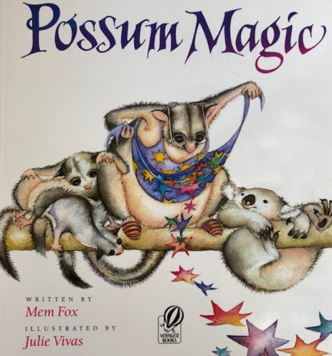
Possum Magic
by Mem Fox (author) and Julie Viva (illustrator) Harcourt: 1983
This sweet picture book tells the story of little possum, Hush, whose Grandma Poss uses magic to make him invisible in order to keep him safe. Hush enjoys all the things he can do while invisible but eventually wants to be seen again. Unfortunately, Grandma Poss can’t remember how to make him visible but she know it has something to do with food. The two travel around Australia eating local foods until Grandma Poss’ memory is prompted and Hush appears. The book ends with a map of Australia showing their culinary journey.
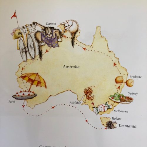
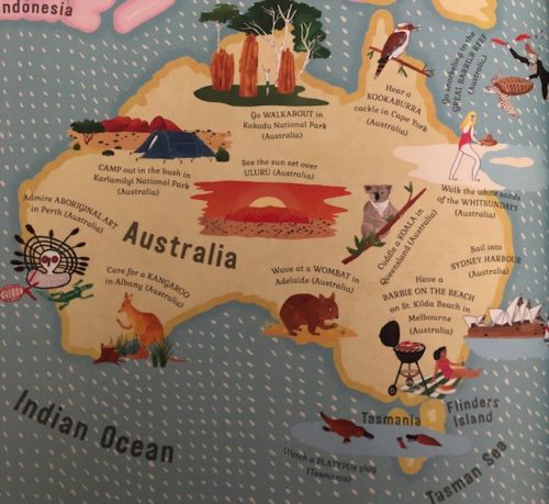
Isn’t it interesting to see how a place is pictured by different cartographers/ artists?
See you tomorrow for the letter B.
I love how you compare maps in different books. My fave has to be the possum one 🙂
Hi Clare – loved seeing these .. and I’ll enjoy each of your posts. It is fascinating how creative artists can be – giving us an overview of something the same, yet completely different … wonderful – cheers Hilary
Atlases used to be such a big part of my life when I was a kid. I really dreamed of the vast world that surrounded me when I turned the pages. It’s great to see new atlases for young readers. The wonder of the world is so big when we are little.
I would love the PB with the possum too 🙂
This atlas is wonderful as are the other geographical books published by Quarto. I think the large size of good atlases helps children understand how big the world is.
They all look like lovely book, but the last one stole my heart.
I hav enever been one to look up maps – even if being a fantasy reader you’d think I should be. And still, I find maps fascinating.
The last one is my favorite, too.
So I must be a bit odd, because I’m still very interested in maps. We always use paper maps for our trips 🙂