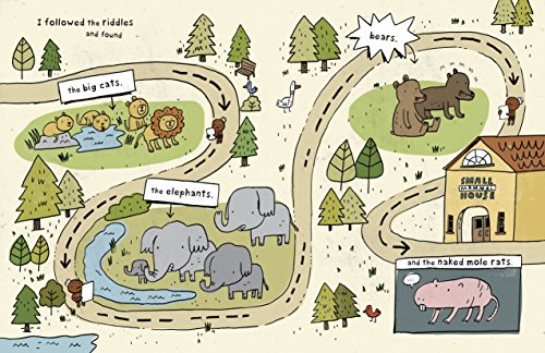
Zoo maps are usually the first maps that children see and learn to read. They are heavily illustrated with animals and the paths show clear directions to get from place to place. Kids learn that a map can help you to get where you want to go. Children also love the maps in zoo books […]
picture books
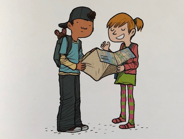
Y – Are We There Yet?
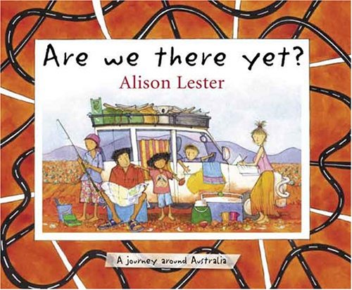
Y is for Yet as in – Are we there yet? Is there any traveler who hasn’t asked that question or had to answer that question? It is a popular book topic with many sharing clever suggestions on how to make the journey more enjoyable. But, for those trips being taken through the pages of […]
V is for Vintage Maps in Children’s Books
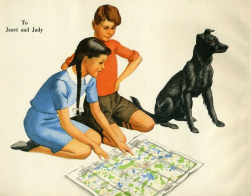
Maps are visual art that communicates information to give us a sense of place. We read maps and we read books. And, in my opinion, books containing maps are the best kind of books. I’ve shared many maps this past month for the A to Z April Blog Challenge and I could easily go on […]
Q is for Quilts – Leading the way to freedom
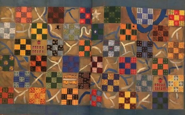
Slavery is a difficult but important topic to teach to young children. One of the best ways is to share stories featuring the amazing Freedom Quilt Maps. These quilts sewn with block patterns were displayed as signals to slaves as they set out to the north during on the Underground Railroad. Because quilts were so […]
Lost!
Lost? Then you need a map! Lucy in the City by Julie Dillemuth (author) and Laura Wood (illustrator) Magination Press Lucy and her raccoon family head out into the night in search of dinner. Lucy is so busy licking the jar of peanut butter that she doesn’t hear her father say “Time to go!” She […]