Today for the letter O on the A to Z Blog Challenge, we’re traveling over the rainbow and down the yellow brick road using maps of the Land of Oz.

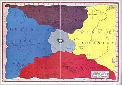
This map was created for Frank L. Baum’s 1908 play and lecture series, The Fairylogue and Radio Plays that were intended to promote the first three Oz books. He showed it on a screen as he read:
“I will now show you a map of Oz, so you will understand my story better. You see, the Land of Oz is divided into four parts, that at the North being the Country of the Gillikins, the East the Country of the Munchkins; the South the Country of the Quadlings, and the West the Country of the Winkies. It was in the Munchkin Country, where you see the black cross [actually a star], that the cyclone dropped Dorothy’s house.
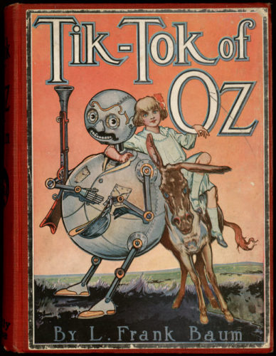
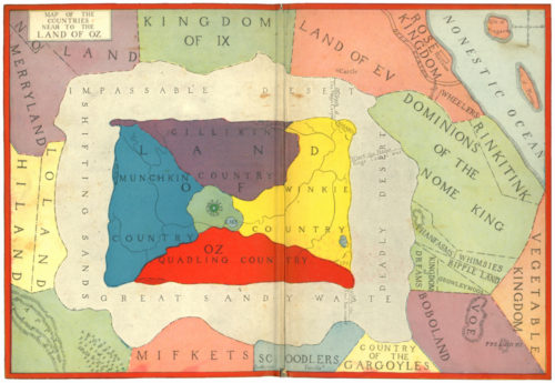
These next two maps are in the eighth book in the series, Tik-Tok of Oz (1914).
Oddly, the maps switch the positions of Munchkin and Winkie Counties from the original map.
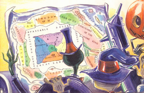
The map on the back endpapers shows Oz surrounded by Baum’s other fantasy lands.
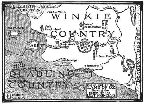
This is the black and white map printed on page 75 of the first edition of The Lost Princess of Oz (1917) – the eleventh in the series.
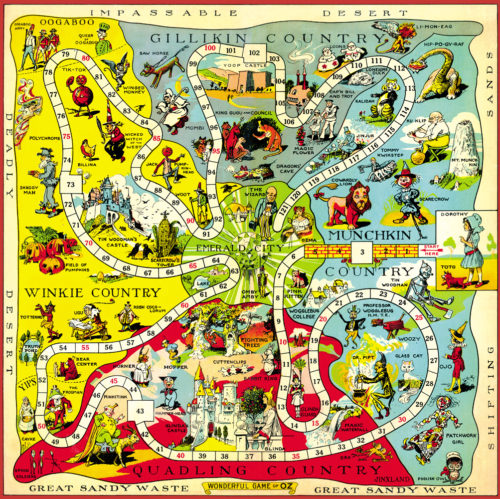
The Wizard of Oz Game was manufactured by Parker Brothers in 1921. The playing pieces were pewter cast characters of Dorothy, Toto, the Cowardly Lion, the Scarecrow, and the Tin Woodman. To move, each player would roll a die containing the letters W,I, Z, A, R, D.
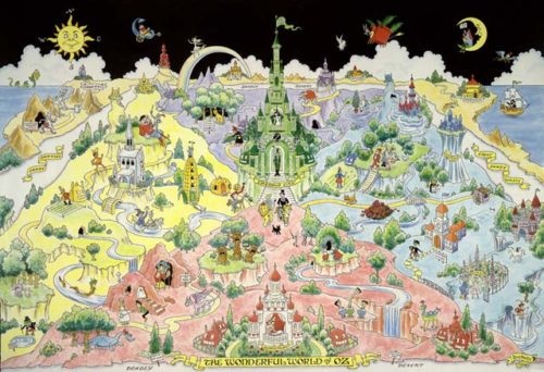
This updated map showing Oz in much more detail was created by in the 1960s by cartographer James E. Haff and artist Dick Martin for the International Wizard of Oz Club.
This illustration was drawn by Dick Martin for The Visitors From Oz (1960)
Visit Hungry Tiger Talk to read and learn more about the Land of Oz. (my illustration source)
Watch a short video about the Wonderful Maps of Oz
For hours of Oz entertainment visit the International Oz Club.
Thanks for visiting!
On the contrary to Narnia, I’m a big fan of Oz books!
I hadn’t seen the film(s) as a child, but never read any book. I took the first one four or five years ago, and I got immediately hooked. Actually, I read all the books by L. Frank Baum. And even started a postal project about (See here).
You bet… I was expecting Oz for the O post! 😀
Glad I didn’t disappoint!
I love your Oz project. A good friend of mine was the president of the Oz Society one year. She even wrote a children’s biography of Frank L. Baum.
Another great post for the challenge, Claire. I still love the photos on the sidebar 🙂
Hi Claire – that was fun … as I didn’t know about the maps … but really only know the films … still fascinating to see – cheers Hilary
That’s cool! I knew there were more Oz books, but this is the first I’ve seen original maps. Fascinating. Thanks for this, Claire! 🙂
Have a wonderful A-Z!
http://www.colindsmith.com/blog
Classics like this will never fade away.
I wonder why the two counties switched places. You must be having so much fun with this A to Z series. I love looking at the maps and books you’re showing us. Would be fun research to do.